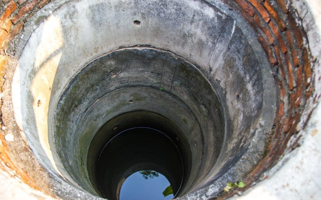
SANKOFA, a leading water engineering company, active in the field of borehole drilling is a trusted consultant for hydrogeological survey and borehole siting, deep borehole and shallow well drilling, and pump installation, enabling clients install effective and reliable wells, ensuring long-term functionality to meet their water demands.
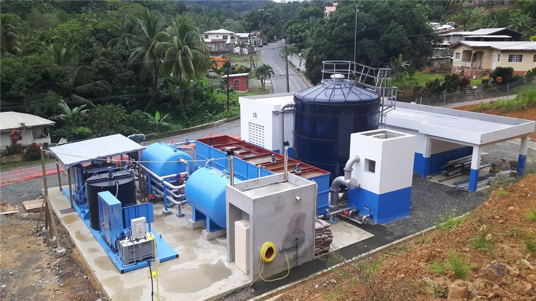
Water Treatment – A Brief Discussion of the Processes and Selection Criteria for Water Treatment Plants
As one of the leading water engineering companies in Uganda, SANKOFA offers advanced technical solutions in the field of water treatment, right from design, installation, and maintenance of high quality water treatment plants, ensuring optimal performance and regulatory compliance to applicable water quality standards.
Piped Water Supply Systems – A Comprehensive Guide on Components, Design and Selection Criteria, and Maintenance of Water Supply Networks
As one of the leading water engineering companies in Uganda, SANKOFA offers customized water supply system designs that are efficient, cost effective, compliant, and high performing.
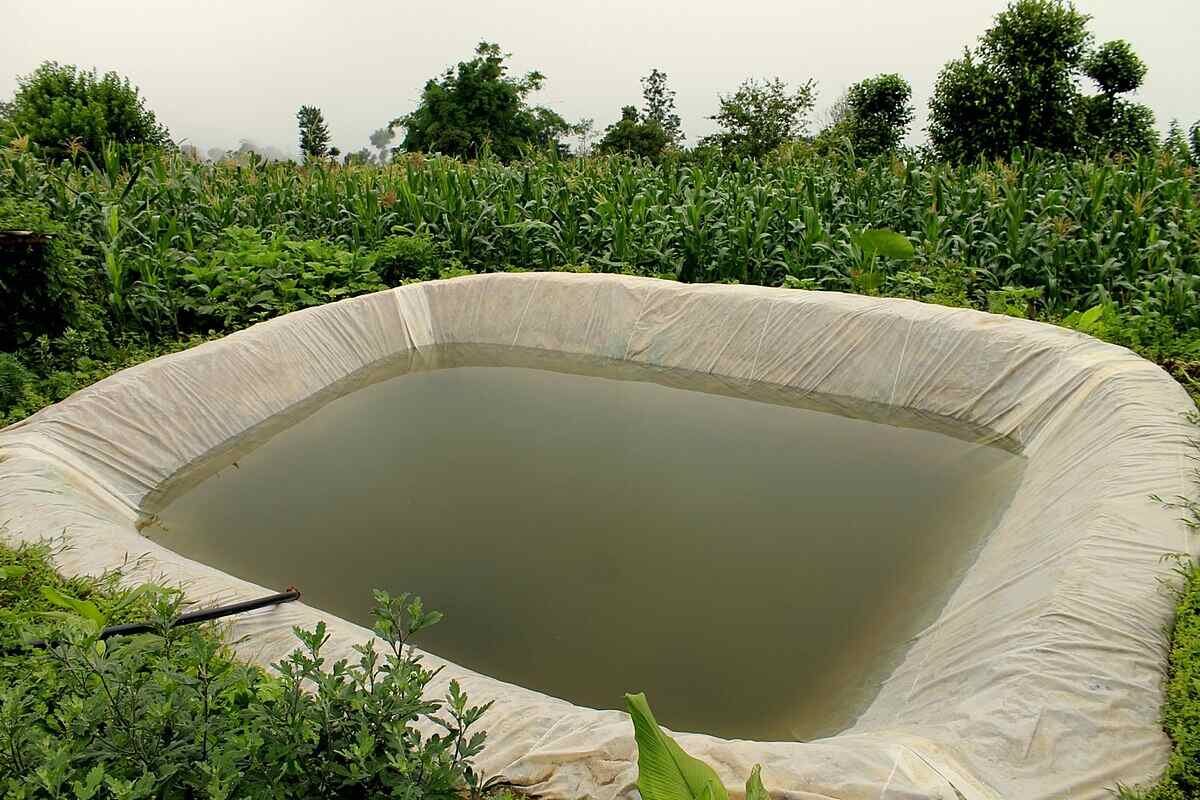
Aquaculture in Uganda – A Disquisition of the Types, Selection Criteria, and Maintenance of Fish Ponds
At SANKOFA, we offer expert guidance on fish farming, right from feasibility study and site assessment, fishpond design and selection, fishpond construction, operation, and maintenance of all types of fishponds such as earthen fishponds, concrete fishponds, koi ponds, floating fish cages, and recirculating aquaculture systems.
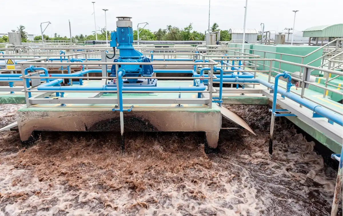
Wastewater Treatment and Management – A Conspectus of the Types, Processes, and Maintenance of Municipal and Industrial Wastewater Treatment Plants
As urban population and industrialization grow, managing wastewater effectively remains a top priority for sustaining public health and environmental protection. This makes effective wastewater treatment plant design, construction, and maintenance more critical than ever. A well designed wastewater treatment plant ensures the removal of physical, chemical, and biological pollutants, allowing safe discharge or reuse of water.
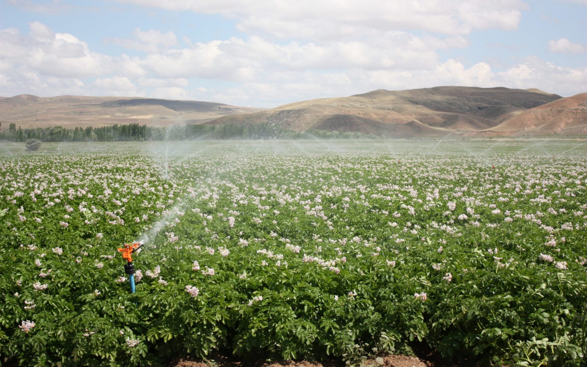
Irrigation – A Compendium on Design and Selection Criteria, Installation, and Maintenance of Irrigation Systems
SANKOFA, a leading irrigation company in Uganda offers expert guidance, enabling you to make informed decisions; and provides top-quality irrigation system installations that deliver exceptional results. Our expertise and commitment to excellence ensure that irrigation system are efficient, effective, and tailored to unique needs.
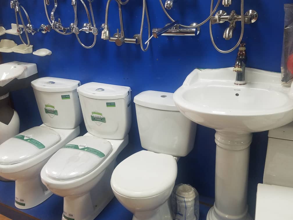
Plumbing – An Exposition of the Types, Selection Criteria, and Maintenance of Plumbing Systems
At SANKOFA, we offer high quality end-to-end plumbing services; right from designing to installation and maintenance for commercial complexes, high-rise buildings, institutions, and industrial facilities. Our team of duly licensed and experienced plumbers and engineers uses state of the art tools and techniques to ensure every plumbing project we undertake is executed with precision and finesse.
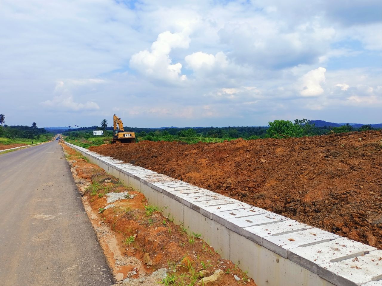
Drainage in Uganda – An Overview of Design and Selection Criteria, Installation, and Maintenance of Drainage Systems
As one of the leading drainage companies in Uganda, SANKOFA has extensive knowledge in design and installation of lined drainage channels, culverts, drainage stone pitching, French drains (tile drains), and various stormwater management and flood control infrastructure. Our team of intelligentsia offers customized drainage solutions to clients, with expert support on design specifications, installation guidance, and compliance requirements, ensuring reliable and efficient drainage systems
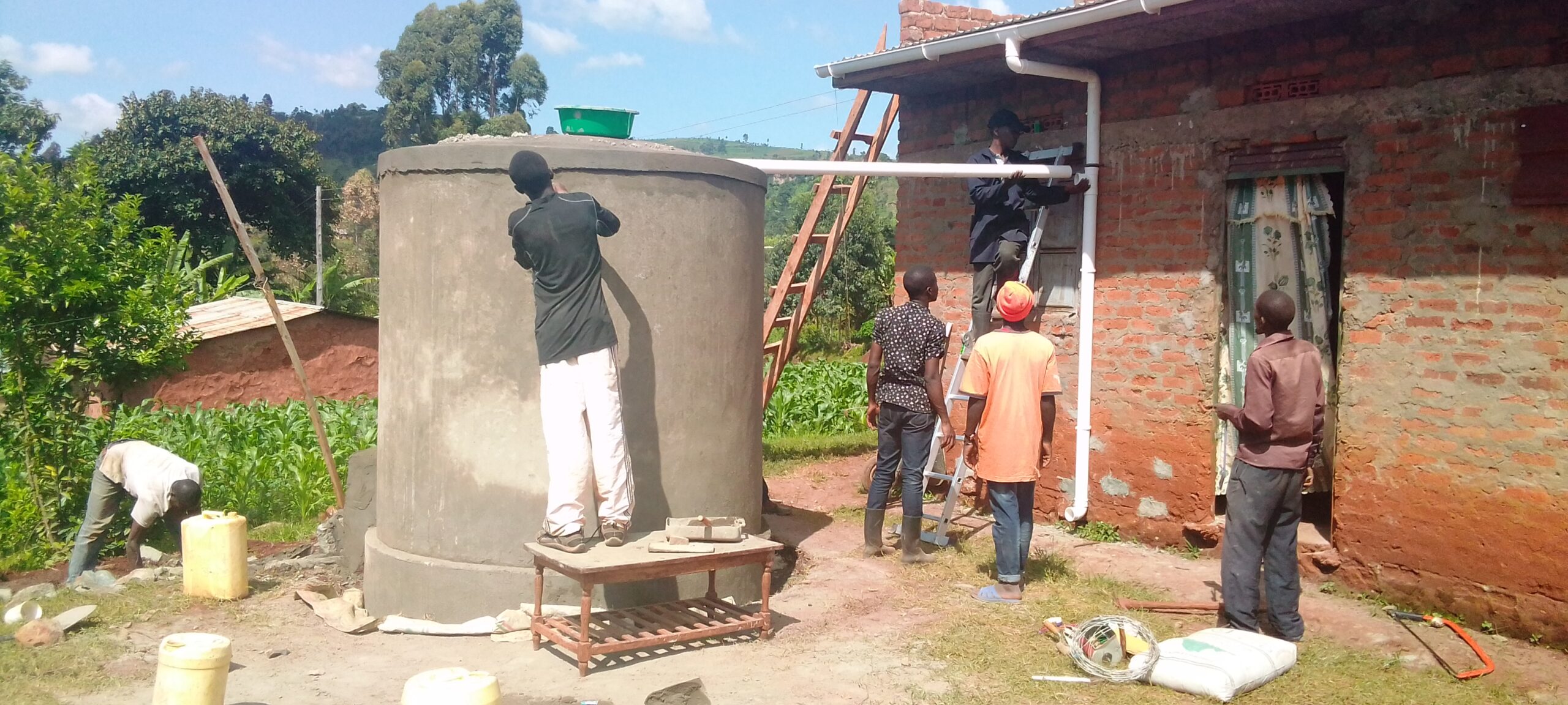
Rainwater Harvesting in Uganda – A Comprehensive Guide on Design, Installation, and Maintenance of Rainwater Catchment Systems
SANKOFA, backed by a proven solid track of successful rainwater harvesting projects, offers expert guidance, ranging from consultation, design and product selection, and installation. As a leading company in design and installation of rainwater harvesting tanks, we do ensure that each project we execute adheres to the utmost standards of excellence and industry best practices.
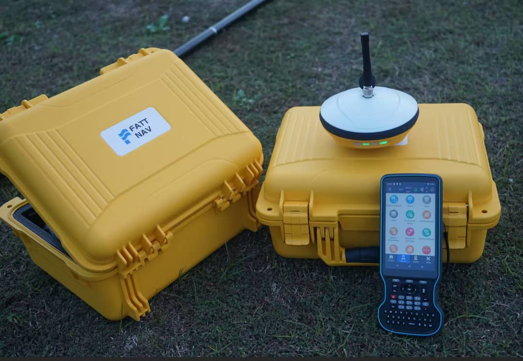
Surveying in Uganda – Understanding the Types, Importance, and Mistakes in Surveying
At SANKOFA, we undertake meticulous planning to offer high quality surveying outputs, delivering impeccable results with industry grade accuracy. As a trusted and leading land surveying company in Uganda, we provide expert surveying solutions tailored to your specific project needs ranging from individual projects to large-scale commercial land developments and construction projects.